An ode to the ugly hike that saved my sanity

Hiking Y Mountain is a beast, but I have quite the love story with its child: the Y itself.

The_Y
Photo credit: By arbyreed – Flickr, CC BY-SA 3.0

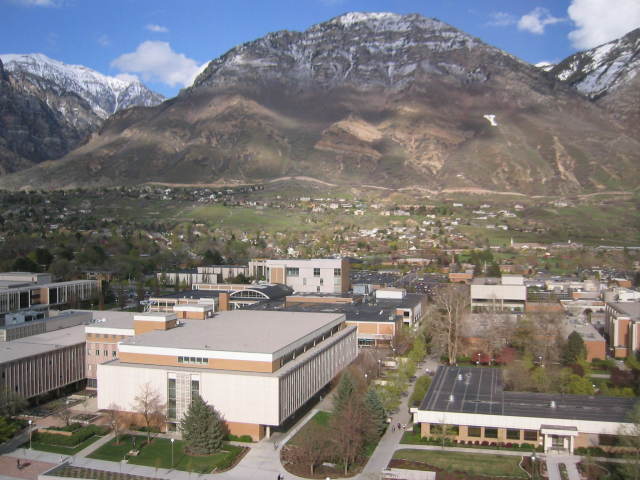
For those of you who are unfamiliar with Utah Valley, Y mountain is right next to Brigham Young University’s campus.

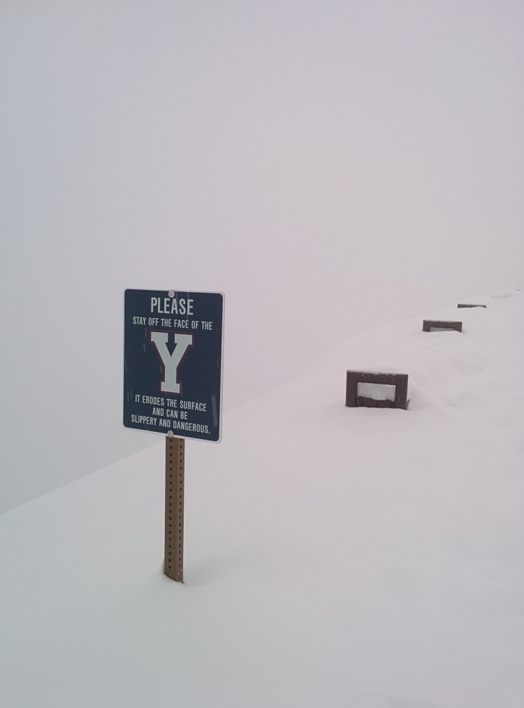
The giant, 788-foot Y was made over 100 years ago. The Ute name for Y Mountain used to be Wahdahhekawee (meaning “blessed mountain”) and the Y only exists because it was too much effort to put in “B” and “U” alongside it.

Hiking the trail to the Y is pretty much a rite of passage for anyone who lives in Provo. I mean, if you’ve lived in Provo and haven’t hiked the Y, are you even a Provo resident?

No, of course not – but don’t worry, you can redeem yourself. Here’s the pros and cons of hiking the Y.

BYU_East
By Lunkwill at English Wikipedia – Transferred from en.wikipedia to Commons by Jan Kronsell., Public Domain

Y you will likely hate the Y

1. The elevation gain from trailhead to top: 1,102 feet over the course of 1.2 miles. This hike is a steep bastard.

2. The elevation: 6,602 feet. If you’re coming from Hawaii, 1) I’m jealous, and 2) make sure you acclimate to the elevation here before hiking.

3. The view: Ugly as sin – there’s a lot of scrub brush and you get a decent view of the valley, but you might be unimpressed by Utah Lake.

IMG_20160413_170023
Utah Lake on the left, Y on the right

(I personally love the view, but I’ve had more than enough arguments with coworkers over how much they hate the view and how terrible the hike is and how it’s not even worth it and OKAY STERLING, I GET YOUR POINT.)

Still – anyone can do it. It’s all in your pacing.

4. It’s hard as balls. Back before I ever showed any athletic leanings, I hiked the Y with Austin and his brother. I was panting and pausing every leg of the way. There’s approximately 14 (or 12, depending on your definition) switchbacks – and I was pausing at each one of them, panting, gasping for air, begging them to slow down.

My cardio was terrible. I had hiked Timpanogos just the summer previous and even though I had taken a spin class and a swimming class, I still wasn’t used to this kind of exertion. Even though I made it to the top, I couldn’t believe Austin had actually run this thing.

But I kept going back, and here’s why.

Y you should love the Y

1. The distance: It’s about 1.2 miles to get to the top. So if you’re in reasonably good shape, and you’re looking for some exercise that’s outdoors but doesn’t require more than an hour’s worth of commitment, this is a great option.

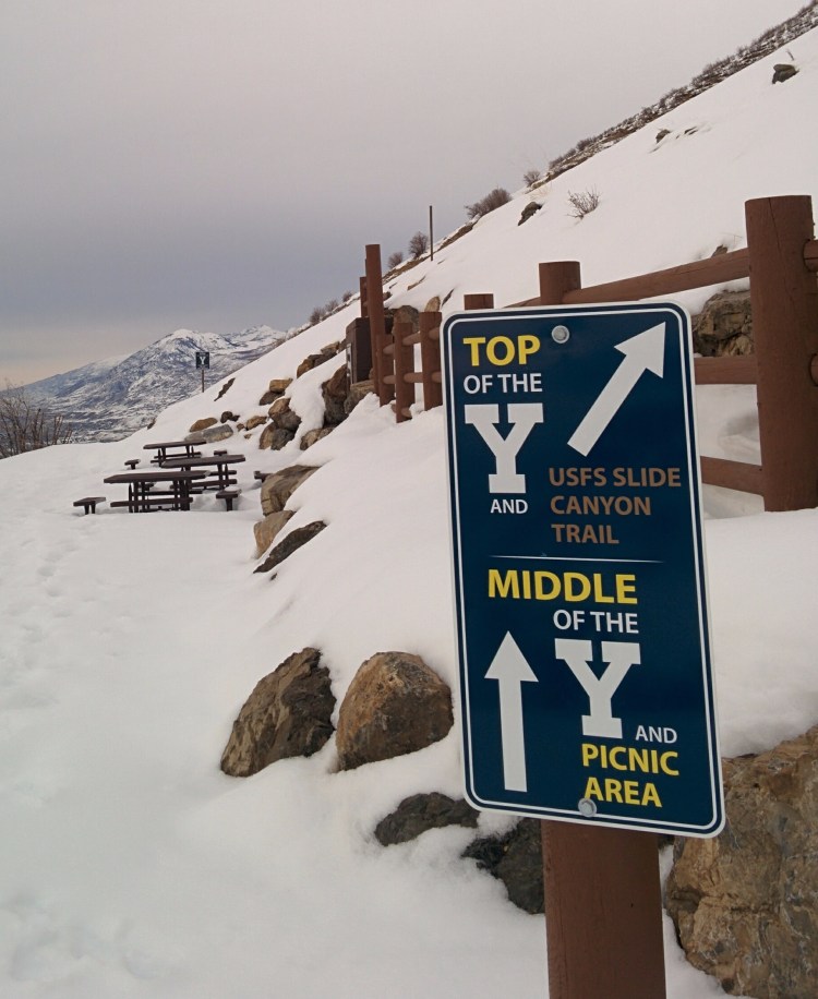
2. You don’t actually have to go to the top: As you approach the Y, you have three options:
1) take the trail that leads to the bottom of the Y,
2) continue up a couple more switchbacks and finish at the middle, or
3) finish at the top.

So you don’t even have to go to the very top! You can still say you’ve hiked the Y and not need to go to the very top of it.

IMG_20170201_161601

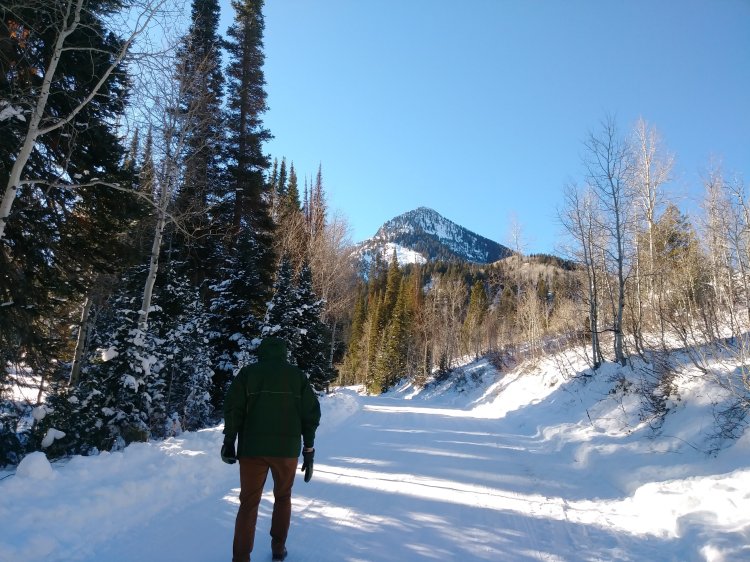
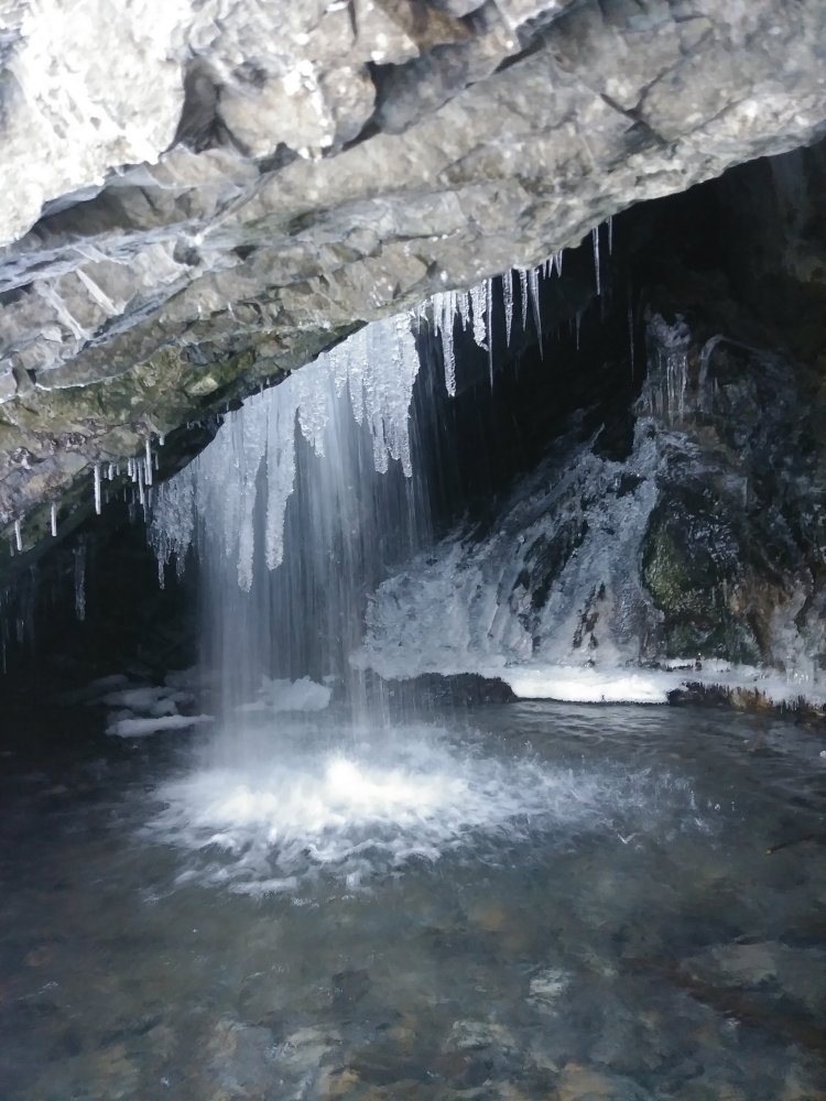
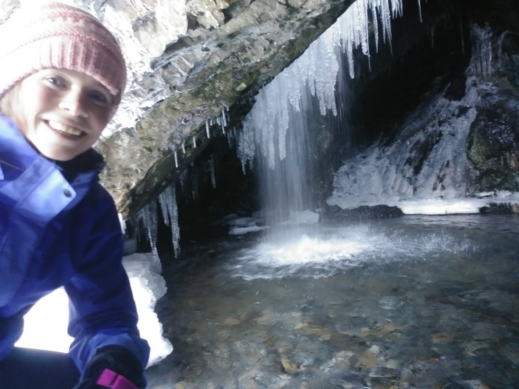
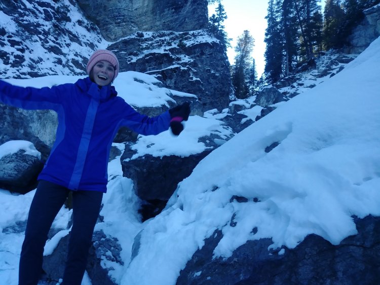
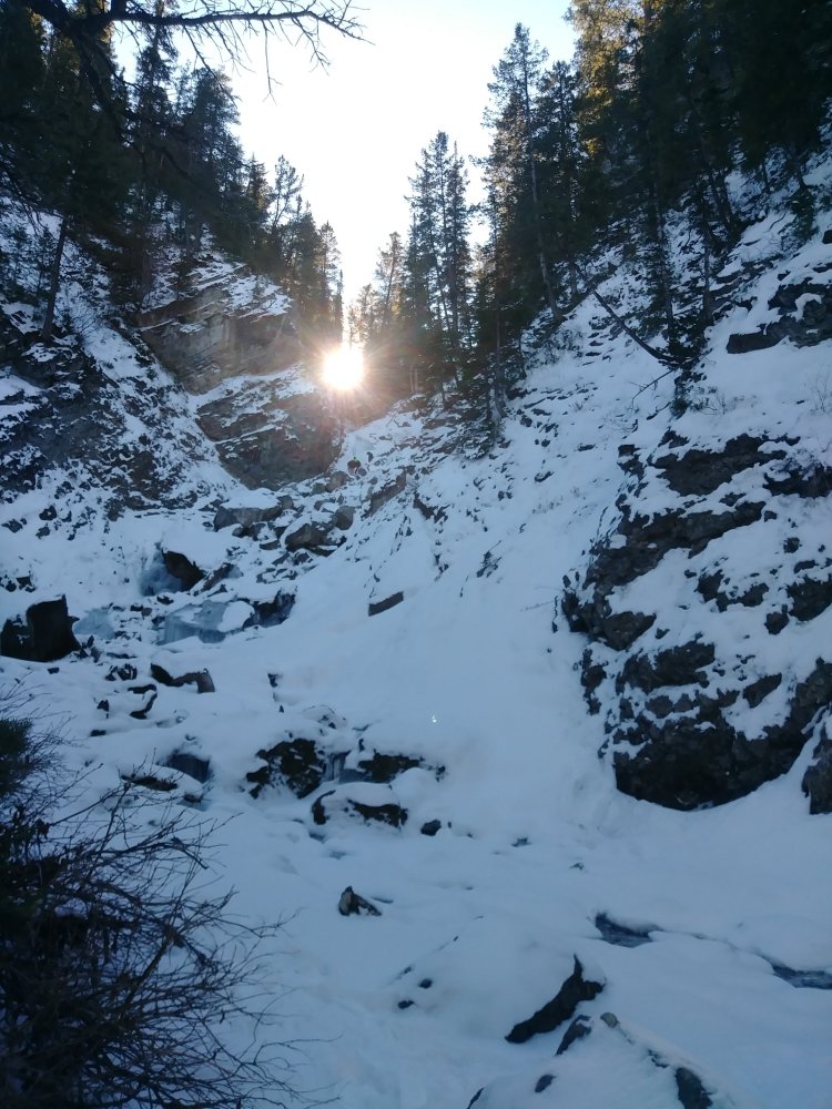
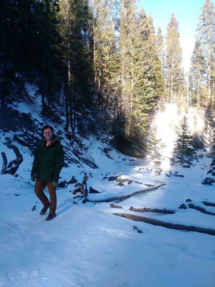
3. You can do it any time of year, any time of day. I’ve done this hike during all four seasons. I’ve done it in the morning, afternoon, and night. At the beginning and end of fall and winter semesters, BYU lights up the Y and it’s a lot of fun to hike up to it.

IMG_20161015_195152
The Y at night

4. Hiking is good for you. This hike was therapy when I had gotten my hours cut at my first full-time job and eventually was laid off.

I had a lot of extra time and it was the beginning of winter – plenty of time to be stuck in my own head and think about how worthless of an employee I must be to get my hours cut.

I couldn’t live like that, so I left the house and started hiking instead.

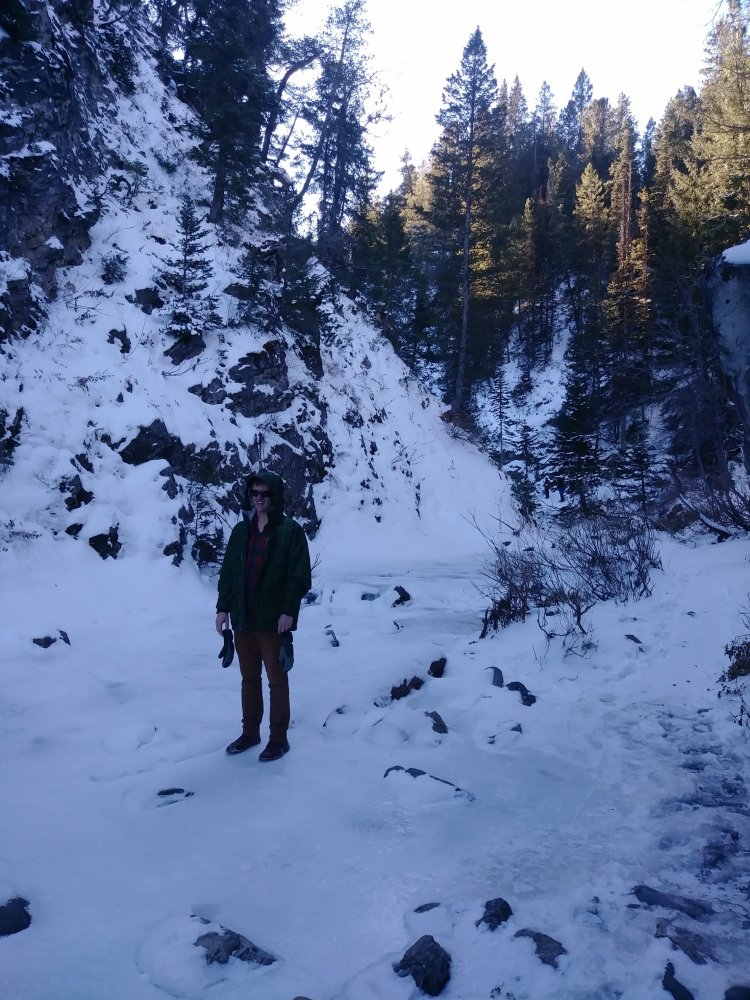
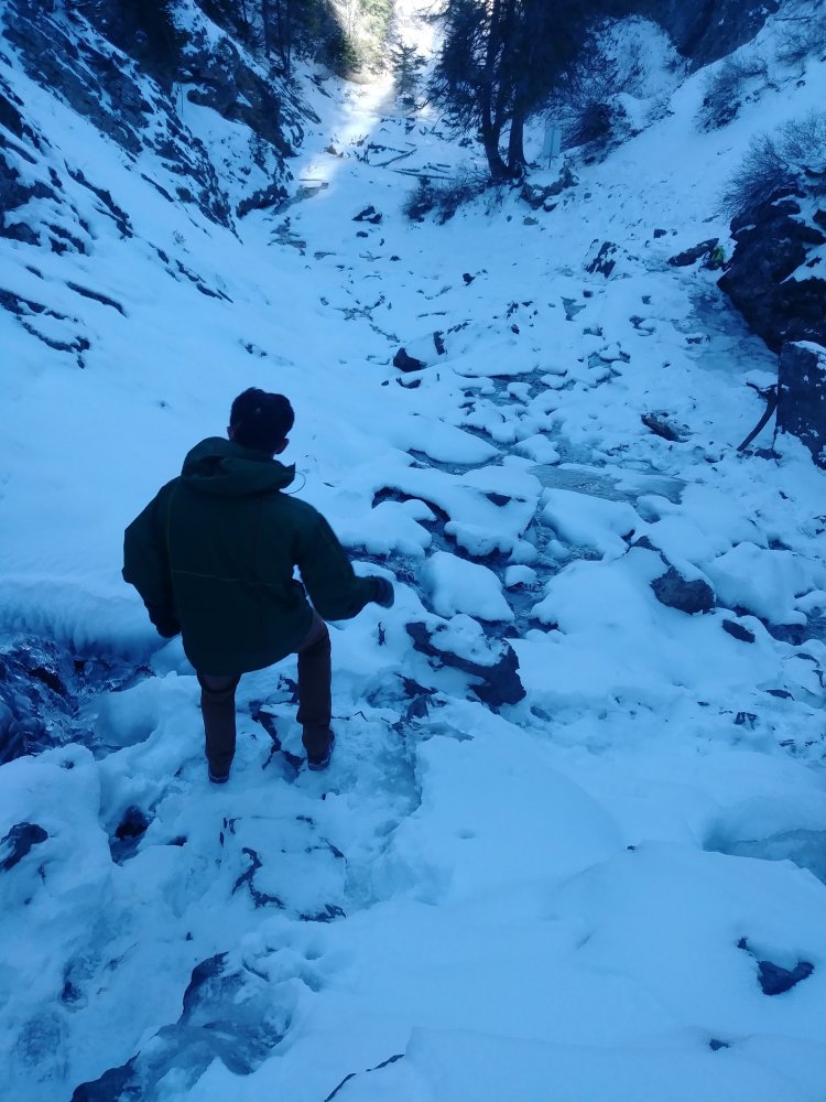
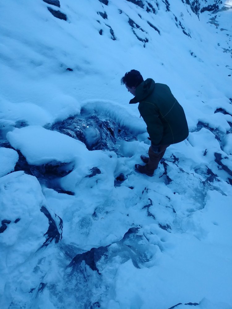
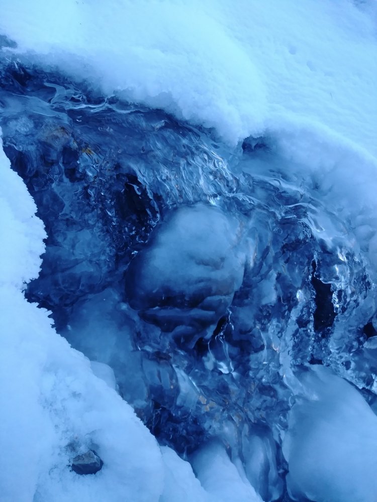
I hiked the Y at least 9 times that winter. I came to push myself more than I thought I was capable. Hiking on snow in all its forms is something else. Powder, packed, melting and muddy – it provides a lot more exertion and sweat.


The outdoors are good for your mental health because it forces you to focus on the present moment of not dying.

Winter hiking the Y did that for me. I remember one night in particular – it was about 5 and my husband was finishing up some final exams, so I decided to go for a hike before picking him up.

There was fresh powder – at least 6 extra inches, and I almost got the car stuck in some snow, so I parked a quarter mile away from the trailhead just so I could get the car out when I left.

Oh, and the ignition was acting funny, which meant there was a good chance the car wouldn’t start if I didn’t turn the key just right.

I was the only person hiking that evening – all except for one backcountry snowboarder. I had started off ahead of him, but he eventually passed me and we made some small talk about his snowboarding before he cruised down the mountain.

It was cloudy and cold and the snow was thick by the time I made it to the top.

IMG_20170125_171638
This was my total visibility

The sun was setting fast and I had to get off that mountain because I could feel the cold start to settle in.

I started going down the trail as fast as I could without slipping. I eventually started running, because no matter how hard I was working, my body temperature was decreasing. The sky was getting darker, but the white snow made it okay.

I eventually made it down to the trailhead parking lot, but since I had parked further down, I still needed to make it to my own car and start it.

The car didn’t start.

I texted Austin after trying 10 times, worried he’d have to walk to the trailhead to start it (it was about 2 miles from campus), but after trying 10 more times, I FINALLY started the car. But even then I had to dig it out and scrape the windshield so I could just escape and be warm again.

It was dark by the time I met up with Austin – but I survived. And even though it was terrifying, I LOVED that hike.

IMG_20170120_145748

5. It gets better each time. I’ve done this hike at least 3 dozen times, and I think I’m low-balling that estimate. I can hike to the top and bottom without stopping in 35 minutes flat. It’s easy for me and I love going there to think.

I love this hike. No, it’s not the most picturesque, and it’s hard. But I have hiked this by myself, with Austin, and with friends and made fond memories.

Simply put: it’s doable. And for that I keep returning.

Inspired by this post at semi-rad.com

Hiking Donut Falls, take 2

Remember that time I hiked to Donut Falls but ended up missing the donut?

Well. I attempted it again.

This time I brought Austin with me, after much coercion persuasion.

20171209_105138_Burst01.jpg
Trying to run away from my picture-taking

It was a lot snowier than the last time I did this – but it was packed down enough to make it walkable.

20171209_110538.jpg

I LOVED the weather – it wasn’t too cold, but the further we got into the canyon, the more frozen things got. My favorite was the half-frozen streams of water.

20171209_111050.jpg
Absolutely stunning

I hiked in my duck boots I got last year for Christmas. They were cheaper ones I got from the kids’ section of some department store (definite perks of having tiny feet) and I was worried that they wouldn’t give me enough traction on the ice.

20171209_111058

The boots were actually perfect to hike in, though – the packed snow might have been slick but I wouldn’t know because I never slipped. They were still slick on the ice, but that’s just the reality of ice. I think crampons would’ve worked, but for a short hike like this, crampons were unnecessary.

Once we reached the higher elevation, the stream/river/thing was frozen over and we even walked on it.

20171209_111729.jpg
Austin standing on the frozen river
20171209_111929
I apologize for the poor lighting – the contrast of the sun and the shadow is a little tough to work with, especially when taking pictures on my phone

Walking directly on ice is slippery. The snow provides good traction and helps you gain a better grip. My duck boots were honestly really good here. Plus, I had some nice wool/fleece-lined socks from Colombia and the best part is, I got a pair for $8!

20171209_112003
A waterfall in the process of freezing over

Okay, I’m going to do my best to explain here, especially with these low-light pictures. So I thought that my mistake last time was not going further left ENOUGH, so Austin and I climbed up a very steep, snowy hill that dead-ended rather quickly. We looked over at the overall waterfall and I took the picture that you see below.

path.jpg

Due to the poor lighting (and my amateur photography skills), I’ve highlighted the path that actually leads up to the main part of the waterfalls.

We had to do a bit of scrambling here – there were some icy patches and I banged my knee on one area, but I kept going up because I was so determined to finally see Donut Falls in all its glory.

We happened upon a cave first.

20171209_112751

And then we moved into the cave.

20171209_112858.jpg
Kinda cramped – sorry it’s so blurry

And looking to the left, I finally saw them.

20171209_112908.jpg
BEHOLD

Also, here’s proof I’ve been there:

20171209_112920.jpg

The hike down was a little precarious, but I’ve decided having Austin hold my hand while we get down the icier parts isn’t too bad.

20171209_113201

20171209_113142

We were absolutely mesmerized by the ice and flow of water beneath (and sometimes over) it.

20171209_113208

20171209_113251

And by the time we finally got down, the sun peeked through the trees, the heavens opened, and God said, “I hate you, Alfalfa.”

20171209_113611

20171209_113606

It was a good hike, and I FINALLY saw the donut.

Falling my way through snowboarding

This weekend on amateur adventures I went snowboarding, and holy Hannah am I ever an amateur. Austin was patient enough to be my instructor, but the problem with your spouse being your instructor is that all the emotions come out. It’s not a guarantee, but I’m pretty sure I wouldn’t cry at my instructor.

IMG_20170305_110929.jpg
This was taken last year but my position is still roughly the same

The snow was not great. Winter has been taking climate change too long to really come climate change and we’ve had such on and off weather climate change that the resort looked pretty bare. The only snow that existed was the man-made snow on the two open runs, and there were some icy patches along the way.

20171203_105711.jpg

It was extremely windy. The chairlift rocked precariously and shook violently as we were about to get off. I gracefully fell after we got off and then hobbled over to a bench to strap myself in. When I got up, the wind blew me up, up into the air and I landed gracefully at the bottom of the mountain.

Just kidding – I still had to get down the mountain. So I got up and..fell down again. And so I got up and started cruising down again, and then fell over again. It was like this for all of the time down the mountain. Snowboarding is already terrifying – the wind only makes it harder to maintain control. As I mentioned before, I cried a lot – there was much weeping and wailing and gnashing of teeth, and I wasn’t even halfway done.

We went home after one run. I felt like such a failure. But kind of like running or hiking, I also desperately want to go again and avenge myself on that mountain. Looks like I’ve got plans for Saturday.

Hiking the Fife Coastal Path, part 3

Day 3 – Sunday, 21 miles

We had to crank out more miles today, but we were FEELIN’ IT after a crappy night of sleep.

IMG_20160814_084639.jpg

We walked through a couple of seaside towns first, enjoying the views.

IMG_20160814_084602

IMG_20160814_095814
This was my favorite sign

Utah has a lot of seagulls too – I understood why they hate feeding the gulls. Seagulls are basically the pigeons of the ocean.

We then passed by the Caves of Caiplie, which were made of sandstone and slowly eroded over time.

IMG_20160814_105832.jpg
Look at those gorgeous colors

After a while, we were starting to feel pretty hungry. So we stopped in another coastal town and ate at a cafe that served some of the best breakfast food I’ve ever had.

IMG_20160814_115427.jpg
Channeling my inner Leslie Knope sans waffles

The rest of the day consisted of steady, constant hiking – well, for the most part. We stopped about an hour after lunch to take a nap and enjoy the pleasant weather. Austin fell asleep on my lap while I relaxed, listening to the ocean water come up against the shore and rocks.

IMG_20160814_142324
My oversized wool socks
IMG_20160814_143131
A rare post showing the Fife Coastal Path

I loved some of the seaside towns we walked through – one of them had a house decorated with seashells.

IMG_20160814_092449

IMG_20160814_092427
Color me impressed. Notice the starfish up in the window on the second floor
IMG_20160814_093250
Things were slower since it was Sunday – it was nice just walking through these quiet towns
IMG_20160814_183121
Some more ruins

IMG_20160814_182636

IMG_20160814_182622

After hiking all day, we arrived at a campsite just a couple of miles away from St. Andrews. I had my doubts about the camping availability in St. Andrews, since it was a college town, so we decided to check out the campsite. It had a lot of people camping there, but we could still see some available spots. Plus, this camping site was HUGE – at least 5 acres.

Austin went to talk to the managers while I talked with some people from England who were visiting St. Andrews for the weekend. When Austin came out, the managers said the campground was full. FULL? There were SO MANY AVAILABLE SPOTS! We were willing to pay the entrance fee! And we were in a two-man tent!

(Note: the irony in getting a two-man tent for two people is that you actually need a 3-man tent if you don’t want to be squished.)

But that didn’t stop us – we just pitched our tent right outside the property with our tent peeking in like little Dickensian orphans looking into a Christmas feast. We were still legal about it – but it didn’t stop us from using their bathrooms in the morning to wash up a little.

IMG_20160815_090420.jpg
St. Andrews

The next day we hiked into St. Andrews and wandered around the St. Andrews Cathedral’s ruins and cemetery.

IMG_20160815_092914.jpg
From what I understand, the cathedral fell into ruin after Catholicism was banned in the 16th century
IMG_20160815_092416.jpg
Holding my water bottle like a wee baby

We also ate some delicious pastries and wandered around St. Andrews University, but this was our favorite part of the whole city:

IMG_20160815_110243
Sophisticated humor is what we’re after

Anyway – we had a good time. The Fife Coastal Path is more residential than the West Highland Way, but it was a fascinating look into a different side of life and a different side of Scotland. I’d highly recommend it.

Hiking the Fife Coastal Path, part 2

Day 2 – Saturday, 15 miles, probably

On this day we headed from Buckhaven to St. Monans, scrambling over rocks and walking along the beach and trekking through towns.

The difference between the Fife Coastal Path and the West Highland Way was how many towns we went through.

IMG_20160813_111717.jpg

There were seaside towns EVERYWHERE. This was an area of life I was not familiar with; I had grown up in a landlocked state and the ocean was purely meant for vacation time. It was handy because we never really worried about our safety (except for those drunk teenagers the night previous who were rambling about how they’d set our tent on fire, but no worries, that thing’s anti-flame) and it was a nice change of scenery.

But it was also kind of weird. There were a LOT of golf courses we had to cross.

IMG_20160813_110212.jpg
And a lot of judgment coming from the golfers

We never really escaped civilization, which was fine since our goal was escaping Scotland’s vampire midges, but walking on the road made my feet hurt even more. We weren’t shy about taking breaks since we were headed to St. Andrews – we had a lot of time on our hands.

IMG_20160813_105334
Part of your WORRRRRRLLLLLLLLLLDDDD

Austin’s always had an obsession with the ocean, and he also has this thing where he wants to do a “polar bear plunge” in every FREEZING body of water we’re nearby, so of course he had to jump into the North Sea.

IMG_20160813_153952

We also stopped by in a nice hotel pub and ate some good seafood there.

IMG_20160813_122704.jpg
Although I passed on eating something that still had its head

There were some really beautiful castle ruins that we passed – come to think of it, this trail had a LOT of castle ruins.

img_20160813_1318051.jpg

IMG_20160813_173450

I was pretty wiped by the time we made it to St. Monans – I think the West Highland Way was still wearing on me.

IMG_20160813_185937
Look how cute I am when I’m exhausted

Once we got into town, we realized that camping on the beach wasn’t much of an option, given all the rocks and sand. So we asked some locals where a camping site was and they pointed us to one about half a mile away.

IMG_20160813_185311.jpg
St. Monans is just gorgeous

We arrived after the camp hosts had left, and after borrowing a cell phone from a nice Scottish couple and trying to call the hosts, decided we’d stay the night and if the hosts came, we’d pay them. If not, well…we’d be really grateful and save ourselves $20.

Sleeping that night was a bit of a struggle – the campers next to us stayed up chatting and laughing and we were too chicken to ask them to please quiet down and they didn’t go to bed until 2 a.m. We’re cowards.

Anyway – I’ll write about the last day tomorrow.


Hiking the Fife Coastal Path, part 1

Day 1 – Friday, 14 miles

We came here to escape the midges.

midgeforecast

Look to the far right of that map. Isn’t it beautiful? All those 1’s. Best of all – no midges.

We’d experienced enough midges from the West Highland Way and Skye. As far as I was concerned, I’d had enough bug bites to last me several lifetimes. That was our main motivation when Austin found the Fife Coastal Path while we were staying in Glasgow.

map

The Fife Coastal Path runs along eastern Scotland. Now, where the midge map is and where we went is not the same, but nevertheless: there were no midges on the eastern part of Scotland. The Fife Coastal Path starts in Kincardine (no, not “Kim Kardashian”) and ends in Newburgh.

IMG_20160814_143131

We didn’t hike the whole thing – just 50 miles starting in Burntisland and ending in St. Andrews. Burntisland (which I believe is pronounced like “burnt-eye-land”) was a smallish town and we had some trouble finding the path at first. Nice posts marking the path (as pictured above) were a little less common on the Fife Coastal Path than they were on the West Highland Way.

IMG_20160812_140915
This is how we finally figured out we were on the correct course – this tiny pole

I didn’t realize how much beach I’d be walking on – this really was a coastal path.

IMG_20160812_140709
Low tide! I didn’t realize the tide could get this low
IMG_20160812_140719
The wind was pretty bad on the first day

We started hiking after lunch. We walked on beaches (checking some nifty available signs for the tide) and would go in and out of grassy dirt trails and back to sand. Due to the poor marking of the trail, we often were double-checking our guidebook that we had bought just for the trip.

IMG_20160812_143634

We took the leg from Burntisland to Buckhaven, which is about 14 miles. We passed by MacDuff’s castle (I didn’t even know MacDuff was a real person), but there were a lot of people there and I was tired so we just kept on going until we found a reasonable campsite. It was approximately 8:30 and I just wanted to sleep, so we set up our tent and slept on and off until it was time to get up again.

IMG_20160812_151330
Not MacDuff’s Castle

This day sounds as gloomy as it looked – but trust me, it was a nice day. It was just a weird, awkward start what with us struggling to find the trail and transitioning from sidewalk to beach to dirt to sidewalk – but the rest of the trip was nice! I’ll tell you about it tomorrow.

Camping on the Isle of Skye

After our experience hiking the West Highland Way, we wanted to go see the Isle of Skye (or, as we couldn’t resist, the “Isle of Skyle”), so we took a bus up to Portree, the largest city in Skye. Its population is 2,491.

IMG_20160808_142937.jpg

Because we were mostly winging this trip (something I do not recommend if you like bathrooms and warmth and happiness), all – and I mean ALL – the hotels and hostels on Skye were booked. We were dum-dums.

So! Camping it was. We hiked about a mile outside of town and found a lovely spot on a small cliff right next to the bay and parked our belongings there. (Again, this is all due to Scotland’s handy dandy wild camping laws)

IMG_20160808_165834

The first night was pretty stormy – but it was a testament to how waterproof our tent actually was. The wind was what woke us up – not the rain, but the rain was pretty bad, too. We got out of the tent at around 5 AM when the storm stopped and the whole area was covered in fog. The sun was barely beginning to rise and we saw a green light across the way, just flickering off the coast. I felt like Gatsby, only less rich.

IMG_20160808_170120.jpg
Look at that awesome contrast

Mostly I was freezing while we slept. So I’d tap Austin on the shoulder and say, “I’m freezing, can you warm me up?” And he’d roll over on top of me while still in his sleeping bag (and mostly still asleep) and although squished, I’d start to warm up from his body heat. He’s my personal space heater.

IMG_20160808_162336.jpg

We spent about 3 days in Skye – a half day on the first, a full day on the second, and a half day on the third. It was freezing and wet, and once again, the locals found it miserable as well.

IMG_20160808_165504.jpg
The gorgeous view from our tent – not too shabby!

On the second day we did an AWESOME bus tour of Skye – and by bus, I mean large van. An old woman named Kathleen drove the van – she had grown up on Skye and was fluent in Scottish Gaelic and didn’t learn English until she went to school at age 5. She was very gracious to let us smelly travelers put our backpacks on her van for storage during the tour.

IMG_20160809_110154
Notice how someone scribbled out “not”

We first went to the Old Man of Storr, which has some super rad rock formations. Don’t ask me why it’s called the Old Man of Storr, I wasn’t listening during the tour.

IMG_20160809_110533.jpg
We went beyond the point, we’re such rebels

We went to a LOT of different areas – one area had a waterfall going straight into the ocean while a dude nearby played bagpipes for money. How Scottish can you get?

IMG_20160809_122922.jpg

The next destination was the Quiraing – if these places look familiar to you, it was the filming location of Stardust (and other cool movies, I’m sure, but I thought mostly about Stardust) and its geology is otherworldly.

IMG_20160809_141417

IMG_20160809_141034.jpg
I think Michelle Pfeiffer tosses some dice around this point
IMG_20160809_142417.jpg
Look how cute I am

We were supposed to go to the fairy pools, but there was a bit of a holdup. A man had decided to drive his cows out of one enclosure into a pasture, and there were a ton of cars coming from both directions on what I swear was the world’s most narrow road.

Kathleen said, “Oh, this simply won’t do!” She got out of the car and waved at the cars behind us, directing them to turn around and back up so everyone could leave. She was single-handedly directing traffic, making sure we could get out of there and on with our day.

I was disappointed to not see the fairy pools, but honestly, hanging out with Kathleen made the trip delightful. She told us stories of the early inhabitants of Skye, of the people who lived there, and all the craziness that happens when humans get together.

Would I recommend Skye? Absolutely. But it was freezing and we were wet, so on the third day we got some fish and chips and caught the next bus back to Glasgow.

After that, we hiked the Fife Coastal Path, which I will happily tell you about tomorrow.

Hiking the West Highland Way, part 4

This is part of a series. For the rest of the series, click on the links below.
Part 1
Part 2
Part 3
Part 4

Day 6 – Friday, 8 miles

The midges came out again this morning, resulting in an early departure. Austin and I ate breakfast on the way, eating bananas and peanut butter and some more digestives cookies. Those double chocolate cookies were amazing.

chocolate cookies
What perfection looks like

We hiked The Devil’s Staircase, which was about as steep as Conic Hill, but at a higher elevation. So what did we do? You guessed it! Austin carried my backpack while I wussed it up that hill burden-free.

IMG_20160805_101940
View from the top of the staircase
IMG_20160805_102946.jpg
These nice Germans took pictures of us at the top – Austin’s superpower is sweating a lot

Honestly, this day was a lot more chill – we hiked 8 miles and happened upon Kinlochleven sooner than we expected, so we set up camp and wandered around the town eating fish and chips.

Day 7 – Saturday, 14 miles

By the time we finished the final leg, we had figured some things out: how to hike in the rain while staying happy, and how to evade midges. Both have the same solution: keep moving always.

IMG_20160806_092847

Continuing to move proved somewhat difficult when we wanted to eat lunch. We’d take off our backpacks and suddenly the midges started gathering, even when we were all smidged up. So we would take out some naan bread, dip it in hummus, and run up and down the trail while shoving the bread into our mouths.

IMG_20160806_115711.jpg
I wish I could’ve captured how gorgeous and mossy this forest was

It’s kind of funny how low your standards get when you hike daily like this. I developed really gross habits. I kept forgetting to use deodorant because we were always in a rush in the morning. I was doing a nifty snot rocket when an old man came hiking by, patted my shoulder kindly and placed a small package of Kleenex into my hand as he passed by. This old man was just beasting it on the trail and no matter how fast we walked, we never passed him.

IMG_20160806_124100

There was an ultramarathon going on while we were hiking. Austin was rehashing the plot of The Godfather movies to me when this guy suddenly called, “ON YOUR LEFT!” and we jumped aside right before he charged down the trail. We saw a lot of runners the rest of the time we were on the trail.

The mountain trail ended about 2 miles before the West Highland Way did. There were two options: go and hike Ben Nevis, the local large mountain, or continue onto Fort William. I was in no mood for summiting mountains, so Fort William it was.

IMG_20160806_124106.jpg
Ben Nevis – just look at this monster

We walked on a sidewalk into town, looking and smelling out of place. We finally made it to the end, where sits a statue of an old is massaging his foot, signifying the end of the Way. We ran into our old man again, and he took a picture of us and joked around with us.

IMG_20160806_144804.jpg

For the next two nights we holed up in a hostel that was owned by a guy named Cliff. Cliff was a real character – he was in his early 60’s, had a young baby girl who he took hiking on Ben Nevis on Christmas Day, and couldn’t even take public transit because he was so claustrophobic. I took a much-needed shower and we just stayed off our feet as long as we liked, only taking breaks to walk down to the local corner store to get more Digestives.

Hiking the West Highland Way was my first real foray into more intense outdoor activities. I loved it and I hated it. Austin and I still speak fondly of our time doing this, because honestly, it was amazing. It wasn’t always fun camping, I hated smelling myself, and my feet hurt. But I’m also so proud of myself for going, even as an amateur, because it opened up mountains of possibilities for me, pun completely intended.

Hiking the West Highland Way, part 3

This is part of a series. For the rest of the series, click on the links below.
Part 1
Part 2
Part 3
Part 4

Day 5 – Thursday, 20 miles

You know how people disdain discussing the weather as conversation material? This became our whole lives. Every person we met on the trail, from the group of four young siblings that we dubbed “The Narnia Children,” to the Dutch man Conrad who was a zoomer, we all talked about the weather.

IMG_20160804_103736
Austin rarin’ to go

The weather was better this day, which brightened my spirits. And after spending the night in a cozy microlodge, I was ready to face the world again.

IMG_20160804_123848
The Bridge of Orchy

On this day we hiked across the Bridge of Orchy, took a quick break to eat some delicious digestives, and then progressed through Rannoch Moor. We had considered camping here, but it was so boggy that we envisioned our tent sinking into the bog with us in it and decided to keep going.

IMG_20160804_160627
Such bog. So swamp. Wow

We didn’t see anyone for miles – we had met up with Conrad the flying Dutchman in a pub while we were eating lunch, but after lunch he took off – ZOOM – and that was the last we saw of him. So we walked alone through Rannoch Moor, coming up with the scariest stories we could think of, trying to scare each other and wondering if that tent we passed even had people in it.

IMG_20160804_162121.jpg
The long, lonely road

Fun fact: Rannoch Moor was a filming location for Harry Potter! The Hogwarts Express drove by it. Even more fun fact: it’s where the dementors got on the train! Even MORE fun fact: it felt like we were in this place forever and I feel like dementors sucked the life out of me!

IMG_20160804_163957.jpg
Look how cute I am when I’m in despair

All bright spirits I had at the beginning of the day were slowly draining out of me. We reached Glen Coe and I was ready to spend the night there, but Austin wanted to go further and get to Kingshouse, which was “only” a couple of miles away. The spirit was unwilling, the flesh was weak, but somehow I found it in myself to get all the way to Kingshouse. Set up the tent and be ready for the night, right?

Oh, wait – the midges.

midgeforecast
Found this image on Google Search from earlier this year, property of the fine people at Smidge

I didn’t know that a midge forecast even EXISTED. But man, we should’ve taken advantage of that thing and armored up with midge nets for our heads. The midges at Kingshouse at the time were category 4 (probably 4.5 to be honest) and it was like something out of The Mummy.

They swarmed our faces as we were setting up the tent. They would literally create a disgusting black cloud that you would breathe in and cough up and sneeze out. They obeyed the midge repellent, but would bite anywhere you didn’t have repellent. They gathered by the hundreds and hundreds and followed us into the tent, where we began our massacre.

IMG_20160805_061606.jpg
A deceptively calm scene

The worst was when I had to get out to quickly pee outside our tent. I pulled down my pants and my legs were literally – LITERALLY – covered with midges. They went places I never want any bug to go. I screamed loudly and dived back into the tent with my pants down. I must have gotten 4 dozen bites alone.

After crankily killing the last of the midges, we went to sleep. That night, temperatures dropped below freezing and the midges all disappeared by 4 AM. I know this because I celebrated by peeing on the cold ground.

I’ll tell you about the last two days of our trip tomorrow. Until next time!

Hiking the West Highland Way, part 2

This is part of a series. For the rest of the series, click on the links below.
Part 1
Part 2
Part 3
Part 4

Day 2 – Monday, 14 miles

We woke up in a slightly damp tent – there was no rain, only condensation and we were still trying to figure out our tent.

This was a gorgeous day – we traipsed through pastures with cows and sheep grazing. We found some wild raspberries and ate them, hoping they wouldn’t come back to haunt us. We were still in more residential areas and walked on a paved road during this time.

IMG_20160801_101957.jpg

IMG_20160801_102631
This made me so happy

The most difficult part about this day was hiking Conic Hill – it was pretty steep and my feet weren’t used to hiking long distances at all.

IMG_20160801_150913.jpg
At the summit of Conic Hill – most people dropped off their backpacks and hiked up the summit since it was a little out of the way; I just dropped myself off and Austin hiked to the summit while I slept with the sheep

After napping on Conic Hill, we got on our way and made the descent back into another town right next to the Loch Lomond region.

IMG_20160801_155149.jpg
Someone was playing the bagpipes in this forest. OF COURSE someone was playing bagpipes.

The weather was GREAT this day, and honestly, I’m glad it was because my feet were throbbing by the time we made it to camp at Cashel Campsite. We slept on/off for the next 10 hours, trying to get energy for the upcoming days.

Side note: camping laws in Scotland are pretty liberal, but as I mentioned yesterday there are areas where it’s more restricted. The Loch Lomond region happens to be one of these more camping-restricted areas, so we only were able to be in designated campgrounds.

Day 3 – Tuesday, 19 miles

This was the day things started getting TOUGH. We were determined to get out of the Loch Lomond region as fast as possible and so we hiked on hyperdrive. We met a hiker from Wales who was on a tight schedule, so he hung out with us for a couple of hours.

Hiking in the lake/loch region meant crossing a lot of streams and rivers – at first it was fun scrambling up and down rocks, but after crossing the 25th stream you start wondering if you actually died and went to hell and this was your eternal fate.

IMG_20160802_141012.jpg

Austin has been active all his life, whereas I had learned how to run that summer and was still getting used to this whole “go hard until you die” sort of thing. At one point, Austin, the human Energizer Bunny, offered to carry my backpack so I could get a break but we could keep walking. I was stubborn at first, but eventually let him so we could go faster.

IMG_20160802_171757.jpg
Austin carrying both our backpacks

It started raining this day, too. Most people had bought covers for their backpacks, but we were cheap/late adapters and tried to use our ponchos to cover ourselves and the backpacks and looked like turtles. We bought a cover because the wind kept blowing the ponchos up.

IMG_20160802_173050

After turtling our way through 19 miles, we were tired of being amphibious (i.e. wet and cold), so we stopped at a campsite called Beinglas (pronounced “Ben-glass”) past Inverarnan. We set up our tent and made our way to a warm, cozy pub that was a part of the campsite. There we gorged ourselves on potato soup and haggis and stayed inside until it was absolutely time to go to bed.

IMG_20160802_175254.jpg
Look at that gorgeous scenery! LOOK AT IT!!!

I wish I could say that we slept well, but honestly, we’re lucky we slept at all. We were kept awake for two hours by some extremely drunk hikers in the tent next to us, who were loudly talking, singing, and eventually barfing. Sweet dreams!

Day 4 – Wednesday, 13 miles

Those 19 miles weren’t good to me. My feet had recovered every night and I was always raring to go the next day, but due to a poor night’s sleep and doing 19 miles, my feet rebelled. They weren’t just crying out in agony; they were going through an angry emo phase and had organized their own Rage Against the Machine cover band.

IMG_20160803_101720.jpg
Don’t be fooled by the excited expression – I’m dying here

I broke down. It was muddy, it was rainy, it was cold and my feet were wet. I think it was the wet feet that really did me in. I just started crying and Austin, sweet problem-solver that he is, wanted to stop and talk about it. But I was afraid that if I stopped I would never start again, so I just kept sobbing as we walked.

IMG_20160803_123138.jpg
See this beautiful stone wall? Yep – started sobbing uncontrollably around here

I was finally realizing what we had gotten ourselves into. I had done some camping like this before, but it was for such a short period of time and there was always home nearby, even if it was a few hours’ drive away. Besides, I was from a desert – our biggest problem was getting enough water, not getting drowned in it.

IMG_20160803_124322

We met a few locals going in the opposite direction of us. They would smile at us, we’d say “Hi there,” and they’d say, “Horrible weather,” and we’d continue on our way. I was convinced that if the LOCALS were complaining about the weather, then okay, maybe I’m not being so dramatic.

IMG_20160803_134216.jpg
Austin holding our grocery bag of food

Eventually we made it to Tyndrum. Because tears are an effective method of persuasion in this family, Austin decided that maybe it would be okay if we spent some extra money to stay in one of those microlodges and dry off for the night. I even took a shower!

IMG_20160803_141908.jpg
See that sweet sheep on the far right? Started pissing as soon as we took out the camera.

Drying off revived my spirits and prepared me for some more beastly parts of the trail – I’ll tell you about those tomorrow, though.